GeoMixer Web GIS - Good Maps Make Treasures ..
 Enterprise Solutions
- from search data to sharing maps
and coworking.
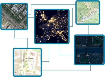
 GeoMixer Cloud
 Maps & Services
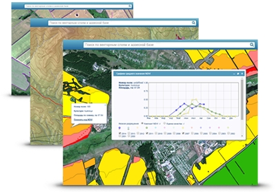
Data Analysis
GeoMixer provides tools for data analysis like measurements, buffer calculation, coordinate grid etc. Use tables to create feature selections. Edit features right on the map.
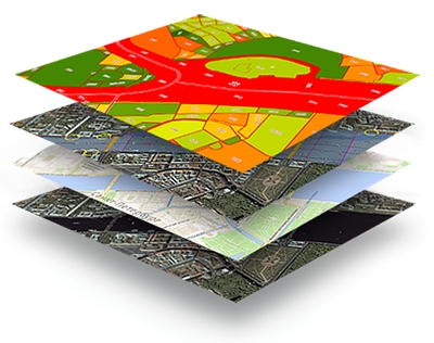
Organize
GeoMixer can be useful as data organizer for various types of spatial data combined in one project or even shared between several coworkers. The supported data types are GIS formats as well as text tables or databases. Invite coworkers and manage rights to access and edit your projects and data layers.
Sharing & Export
GeoMixer based maps (projects) can be embed into web or mobile map applications using GMX API that is compatible with most popular opensource Lealflet.JS library (check the examples). On the server-side it provides REST API for data import / exports and a set of industrial standads based services - WMS / WFS /.WMTS with the help of which you can programly import your data into appropriate GeoMixer layers or export data from GeoMiser to load it into desktop GIS software.
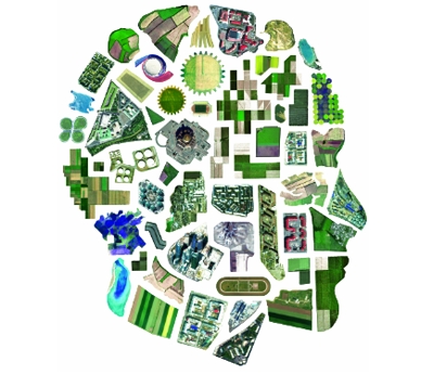
What should you know about maps?
Do you know that visualization of data in the form of illustrations, graphs and diagrams is more effective than in the form of text and tables? And what if your information contains geographical context? Then it can be represented not only graphically but also showing it on the map. One map instead of multiple tables and diagrams.
Our Clients